

7 séries correspondent à votre recherche :
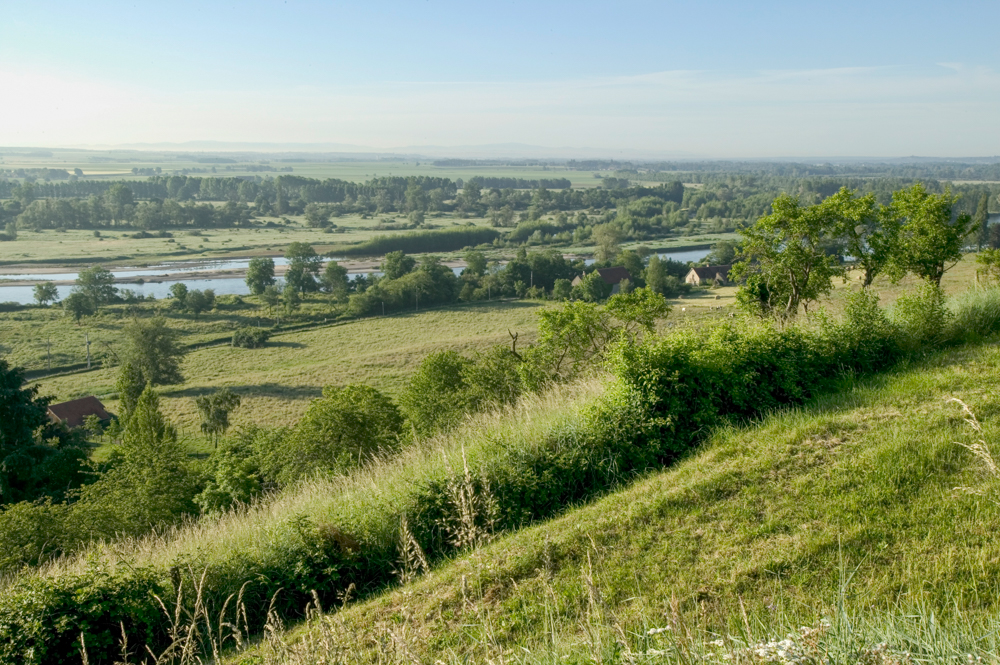
Châtel-de-Neuvre La rivière Allier depuis Châtel-de-Neuvre
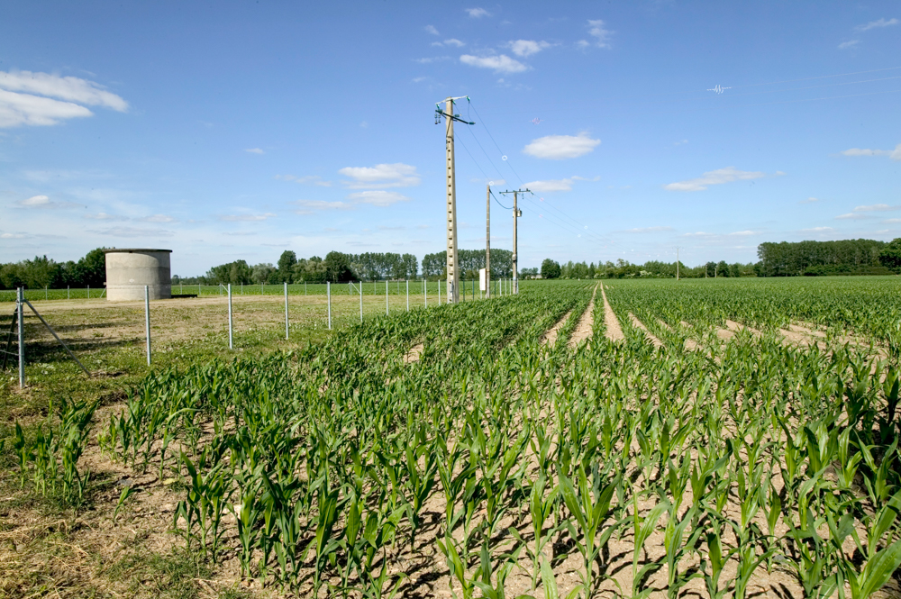
Châtel-de-Neuvre Station de pompage destinée à l irrigation du maïs
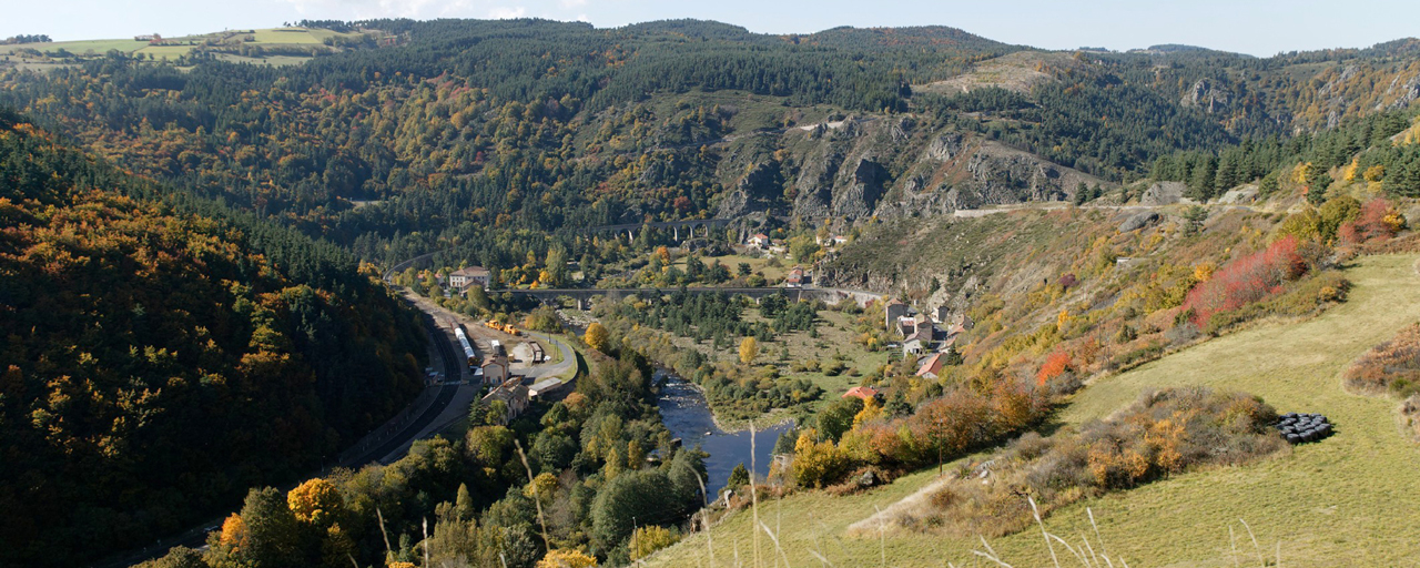
Saint-Haon Chapeauroux et Le Nouveau Monde
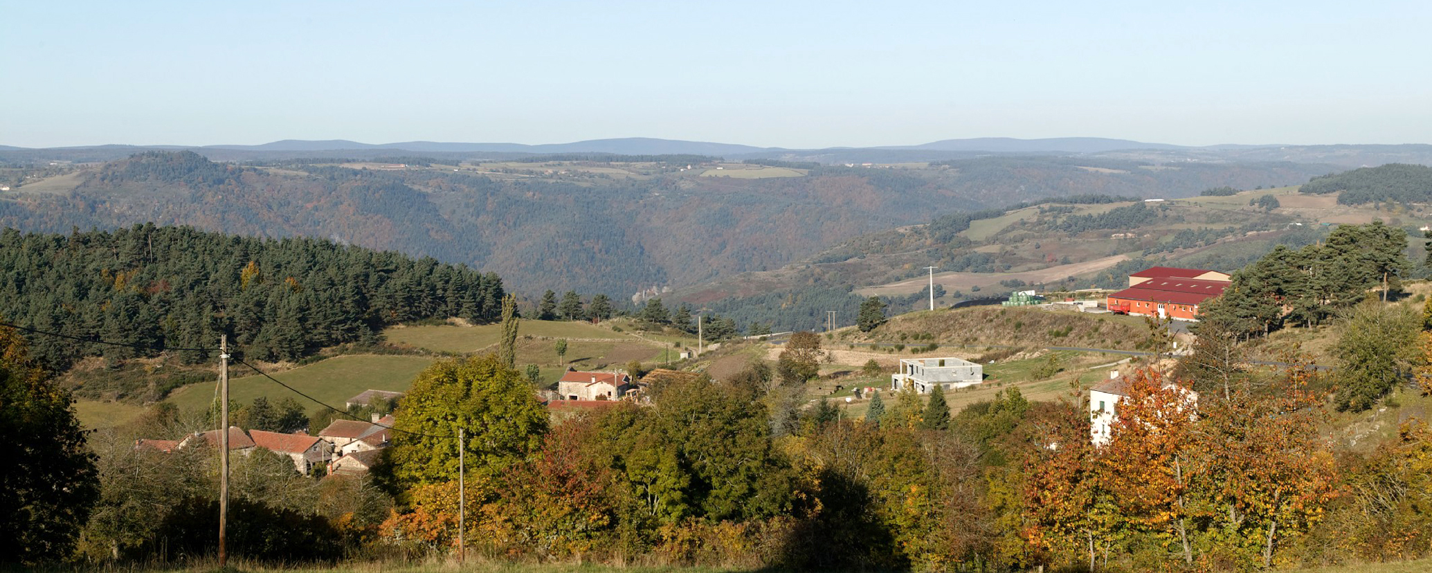
Saint-Haon Le Cros et la vallée de Allier
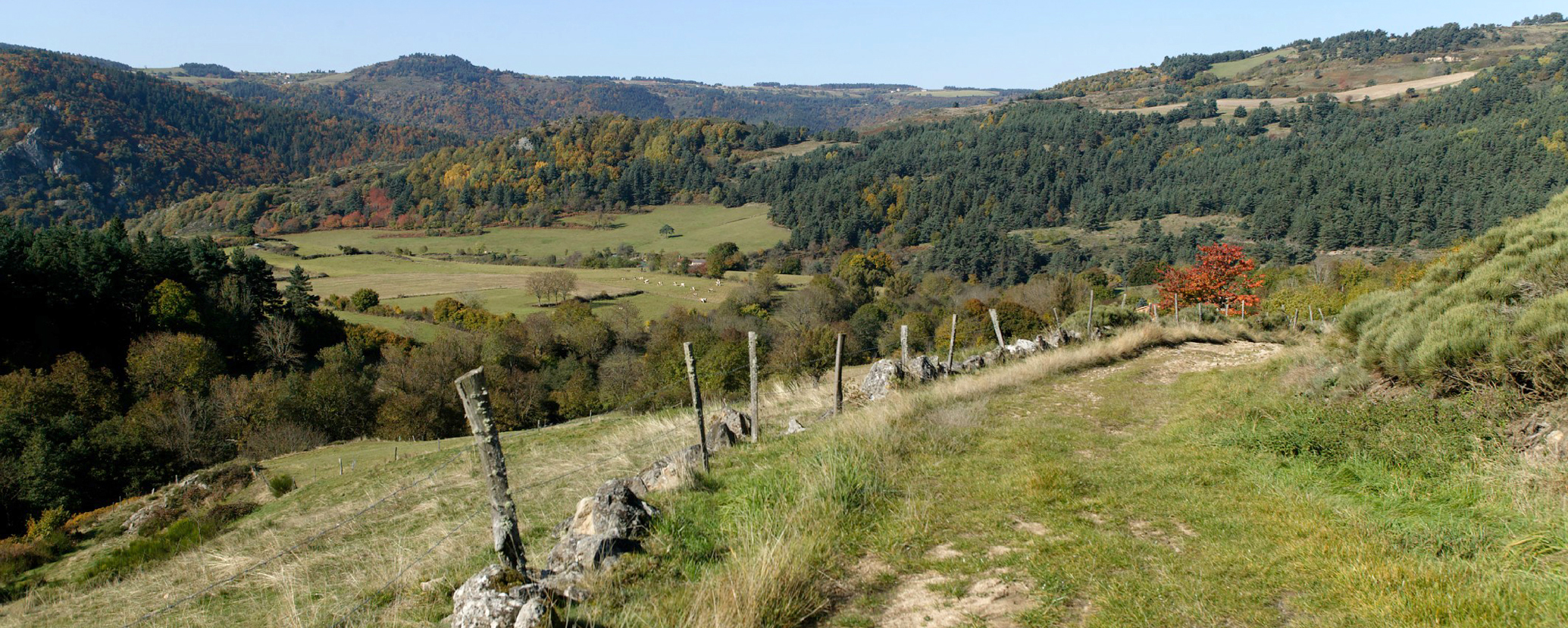
Saint-Haon Vallée de l'Allier à La Genestouze
Maringues La rivière Allier au niveau de Crevant-Laveine. Maringues (63)

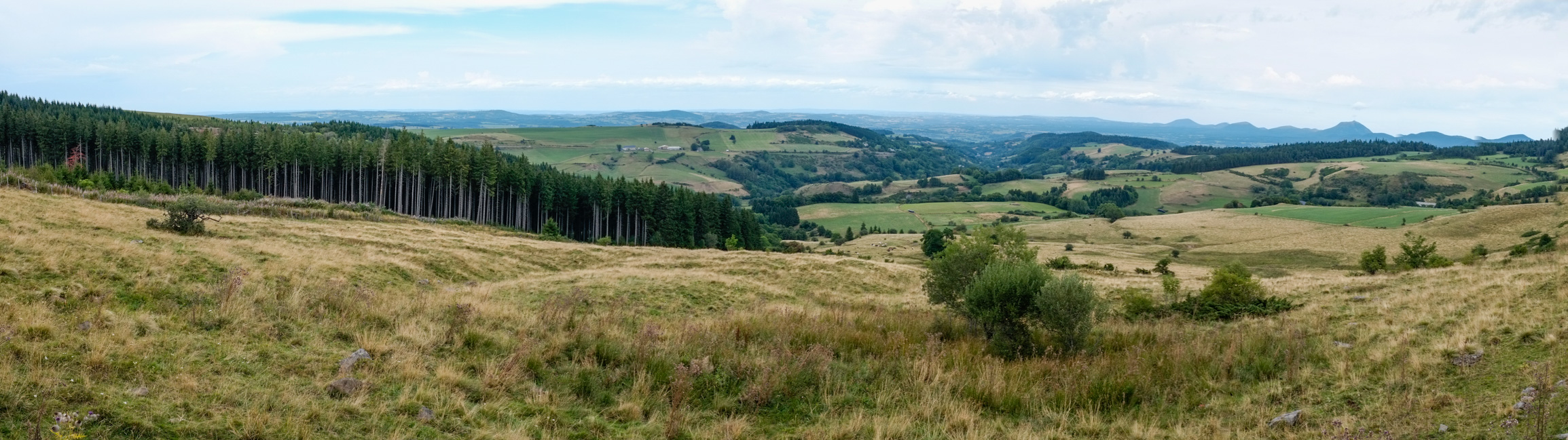
Orcival Plateau des monts Dore et la vallée du ruisseau de Servières. Orcival (63)
© Atlas des Paysages d’Auvergne - DREAL Auvergne-Rhône-Alpes