5 séries correspondent à votre recherche :
(X)Saint-Etienne-sur-Usson

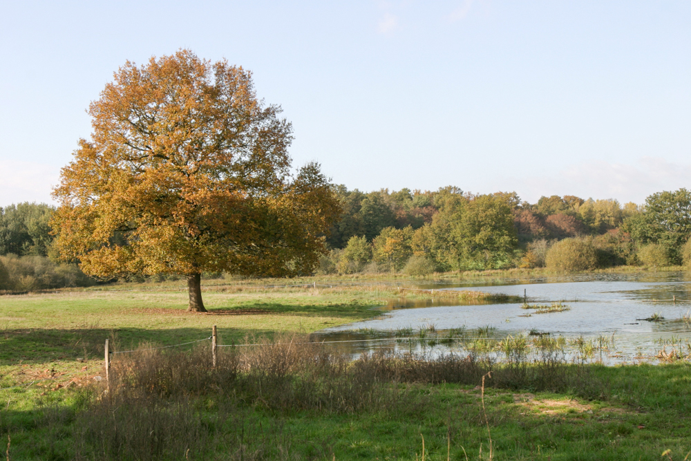
Thiel-sur-Acolin
Étang vers Les Moreaux
Photo prise le 09/11/2004

Thiel-sur-Acolin
Avant Messagon - à côté de l étang des Moreaux
Photo prise le 09/11/2004
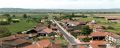
Lamothe
Lamothe
Photo prise le 14/05/2008
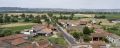
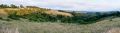
Lamothe
Lamothe
Photo prise le 17/07/2023
Saint-Étienne-sur-Usson
Photo prise le 04/10/2012
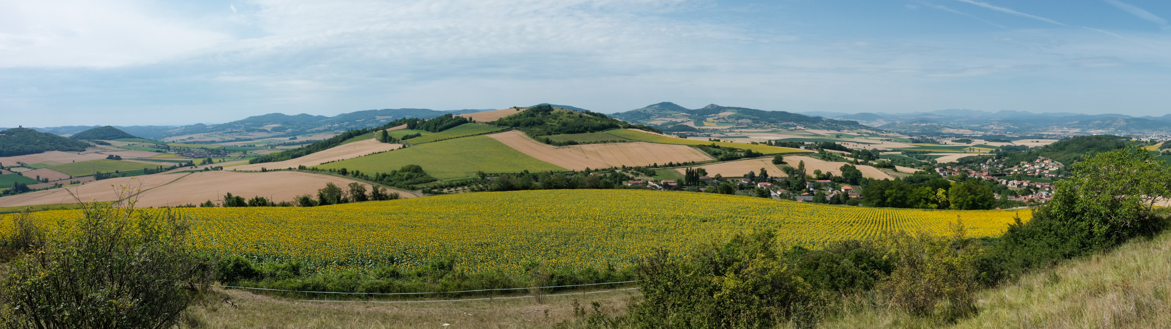
Chauriat Les buttes volcaniques entre Billom et Chauriat et celles du massif de la Comté, à l'arrière plan. Chauriat (63) 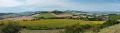
Chauriat
Les buttes volcaniques entre Billom et Chauriat et celles du massif de la Comté, à l'arrière plan. Chauriat (63)
Photo prise le 08/10/2012
© Atlas des Paysages d’Auvergne - DREAL Auvergne-Rhône-Alpes